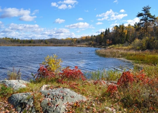
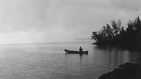
Lake Vermilion–Soudan Underground Mine State Park

Bibliography
Eliseuson, Michael. Tower Soudan: The State Park Down Under. St. Paul: Minnesota Parks Foundation, 1976.
Kaczke, Lisa. “Work Winding Down on 2 Big Experiments in Soudan Mine.” Duluth News Tribune, February 13, 2016.
https://www.duluthnewstribune.com/news/work-winding-down-on-2-big-experiments-in-soudan-mine
Minnesota Department of Natural Resources. Lake Vermilion-Soudan Underground State Park.
http://dnr.state.mn.us/state_parks/lake_vermilion_soudan/index.html
“Minnesota’s Newest State Park Reaches Important Milestone.” Fox 21KQDS, May 8, 2015.
http://www.fox21online.com/news/local-news/Minnesota-s-Newest-State-Park-Reaches-Important-Milestone/32897194
Minnesota Department of Natural Resources. Soudan Underground Mine State Park Management Plan. January, 2002.
https://files.dnr.state.mn.us/input/mgmtplans/parks/lvsum/soudan-mine-plan-2002.pdf
National Historic Landmarks Survey. National Park Service, Listing of National Historic Landmarks by State.
https://www.nps.gov/subjects/nationalhistoriclandmarks/list-of-nhls-by-state.htm#onthisPage-23
Radford, Dave. “Uncovering History in Our New Park.” Minnesota Conservation Volunteer 77, no. 453 (March–April 2014): 8–17.
Soudan Iron Mine, National Register of Historic Places Inventory Nomination Form, Tower-Soudan State Park, Soudan, Minnesota.
https://npgallery.nps.gov/NRHP/GetAsset/NHLS/66000905_text
Stuntz Bay Boathouse Historic District. National Register of Historic Places Registration Form, Soudan Underground State Park.
https://s3.amazonaws.com/NARAprodstorage/lz/electronic-records/rg-079/NPS_MN/07000460.pdf
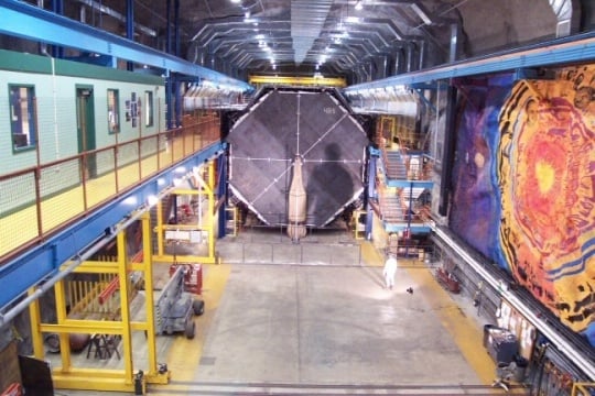
University of Minnesota. Soudan Underground Laboratory.
http://www.soudan.umn.edu/
Related Images


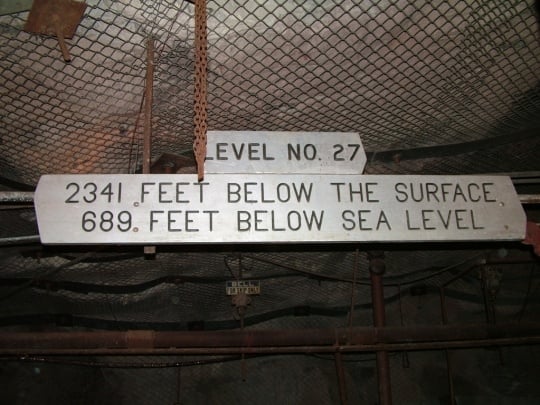
Soudan Underground Mine sign, level 27
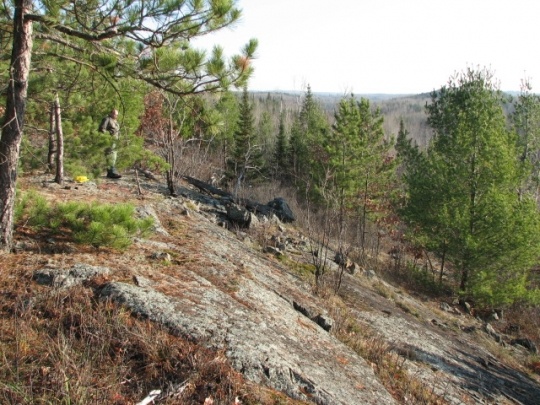
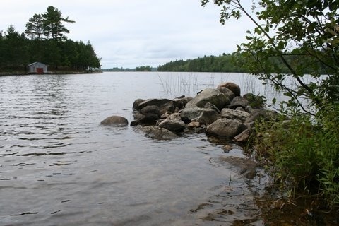
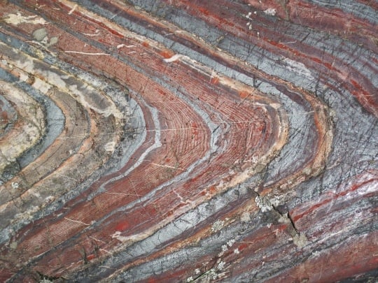
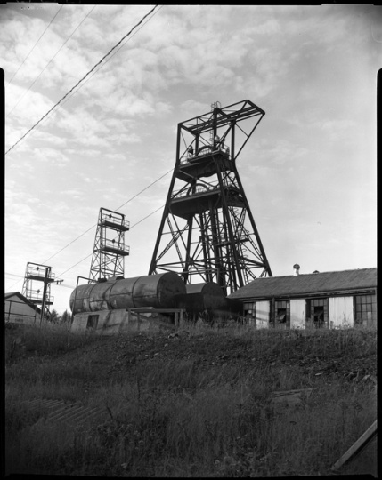
Surface outcrop

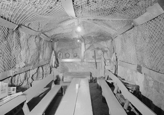
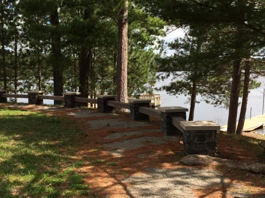
Stuntz Bay boathouses
Chronology
As early as 7000 BCE
1882
c.1890
Early 1890s
1962
1963
1966
1979
1980
2002
2007
2010
2014
2015
2016
Bibliography
Eliseuson, Michael. Tower Soudan: The State Park Down Under. St. Paul: Minnesota Parks Foundation, 1976.
Kaczke, Lisa. “Work Winding Down on 2 Big Experiments in Soudan Mine.” Duluth News Tribune, February 13, 2016.
https://www.duluthnewstribune.com/news/work-winding-down-on-2-big-experiments-in-soudan-mine
Minnesota Department of Natural Resources. Lake Vermilion-Soudan Underground State Park.
http://dnr.state.mn.us/state_parks/lake_vermilion_soudan/index.html
“Minnesota’s Newest State Park Reaches Important Milestone.” Fox 21KQDS, May 8, 2015.
http://www.fox21online.com/news/local-news/Minnesota-s-Newest-State-Park-Reaches-Important-Milestone/32897194
Minnesota Department of Natural Resources. Soudan Underground Mine State Park Management Plan. January, 2002.
https://files.dnr.state.mn.us/input/mgmtplans/parks/lvsum/soudan-mine-plan-2002.pdf
National Historic Landmarks Survey. National Park Service, Listing of National Historic Landmarks by State.
https://www.nps.gov/subjects/nationalhistoriclandmarks/list-of-nhls-by-state.htm#onthisPage-23
Radford, Dave. “Uncovering History in Our New Park.” Minnesota Conservation Volunteer 77, no. 453 (March–April 2014): 8–17.
Soudan Iron Mine, National Register of Historic Places Inventory Nomination Form, Tower-Soudan State Park, Soudan, Minnesota.
https://npgallery.nps.gov/NRHP/GetAsset/NHLS/66000905_text
Stuntz Bay Boathouse Historic District. National Register of Historic Places Registration Form, Soudan Underground State Park.
https://s3.amazonaws.com/NARAprodstorage/lz/electronic-records/rg-079/NPS_MN/07000460.pdf
University of Minnesota. Soudan Underground Laboratory.
http://www.soudan.umn.edu/